New South Carolina hurricane evacuation zones take effect this year
State leaders introduce redefined areas in anticipation of upcoming hurricane season
CHARLESTON, S.C. – State leaders want coastal residents and visitors to acquaint themselves with the redesigned and expanded hurricane evacuation zones that would be employed in the case of a significant storm later this year. The restructuring represents the first significant overhaul of evacuation zones in the past decade.
Creation of the new zones
Employing a comprehensive analysis of factors such as previous hurricane impacts and population, the South Carolina Department of Transportation, Emergency Management Department, and Highway Patrol leaders fashioned the revised zones. According to the new setup, Gov. Henry McMaster will issue evacuations by zone letter as deemed necessary.
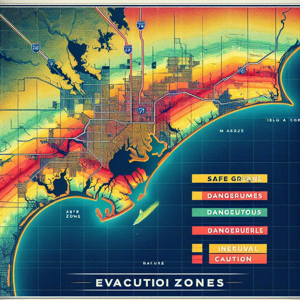
In the Lowcountry, the zoning follows a simple patter from A to F. The state Emergency Management Director, Kim Stenson, believes that the innovative system will enhance effectiveness in time of crisis.
Efficient evacuation with minimized risk
“With the new zones, we’ve actually shrunk the entire evacuation area by about 250 square miles. The main thing that we want to do is we want to ensure that people are out of harm’s way and that they’re not we’re not putting them at risk,” Stenson said.
“We also aim to ensure that we don’t evacuate people who don’t need to be evacuated,” Stenson added, emphasizing the value of balancing safety and convenience.
Evacuation Routes remain the same
In a recent announcement, McMaster stressed that while the zones have been redrawn, the actual routes for evacuation remain unchanged. Coastal inhabitants, especially those in Charleston, can therefore plan to take I-26 as their primary route away from the coastline during emergency evacuations.
Details of the new Zones
Zone A, located at the coastline and covering barrier islands such as Seabrook, Kiawah, Folly Beach and Isle of Palms, extends from the Georgia border along the coast to the North Carolina border. Zone B moves inward, covering areas like James and Johns Islands, downtown Charleston, Daniel Island, and Mount Pleasant. Zone C expands outward toward West Ashley, with subsequent zones continuing inland.
Preparation for the upcoming hurricane season
As they anticipate a potentially tumultuous hurricane season, leaders have decided to conduct a lane reversal exercise on I-26. This would mean that in the event of a major evacuation, I-26 traffic would be directed away from the coast as needed.
SCDOT Secretary Justin Powell announced that the expansion of I-26 to six lanes, between Charleston and Columbia, is a strategic move to facilitate smoother and faster evacuations in the future.
Emphasizing the necessity of evacuation preparedness, officials have urged residents to take evacuation orders seriously and to ensure their homes are equipped with a hurricane preparedness kit.
Improved zones for accurate evacuations
The redefined zones guarantee enhanced accuracy, expanded coverage, and clearer communication, and promise to boost the effectiveness of evacuation operations. Physical copies of the new zones will be made available in Walgreens stores and South Carolina welcome centers.
Residents are being urged to familiarize themselves with the new zones in preparation for the Atlantic hurricane season, which has been predicted to be active with 23 named storms, 11 hurricanes, and five major hurricanes, a projection well above average.